The River Exe: From Source To Sea
There’s something strange about living somewhere your whole life and never quite seeing it properly. I’ve always lived in Devon, walked sections of the River Exe more times than I can count. In and around Exeter, along the estuary near Topsham, and out towards Exmouth. Like most people, I knew the river well in parts. But I’d never seen where it actually begins. So over the quieter winter months, when life as a Devon wedding photographer slows down, I set out to follow the River Exe. From its source on Exmoor, all the way to the sea.
This project took place over two months, from planning through to shooting, covering more than 25 locations as the river winds its way from Somerset into Devon. It wasn’t about ticking off landmarks or creating a guide. It was more about understanding how it shapes the land and how people live alongside it. And honestly, it was also just an excuse to get outside with a camera.
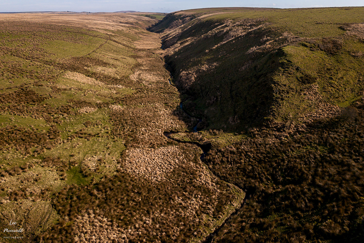
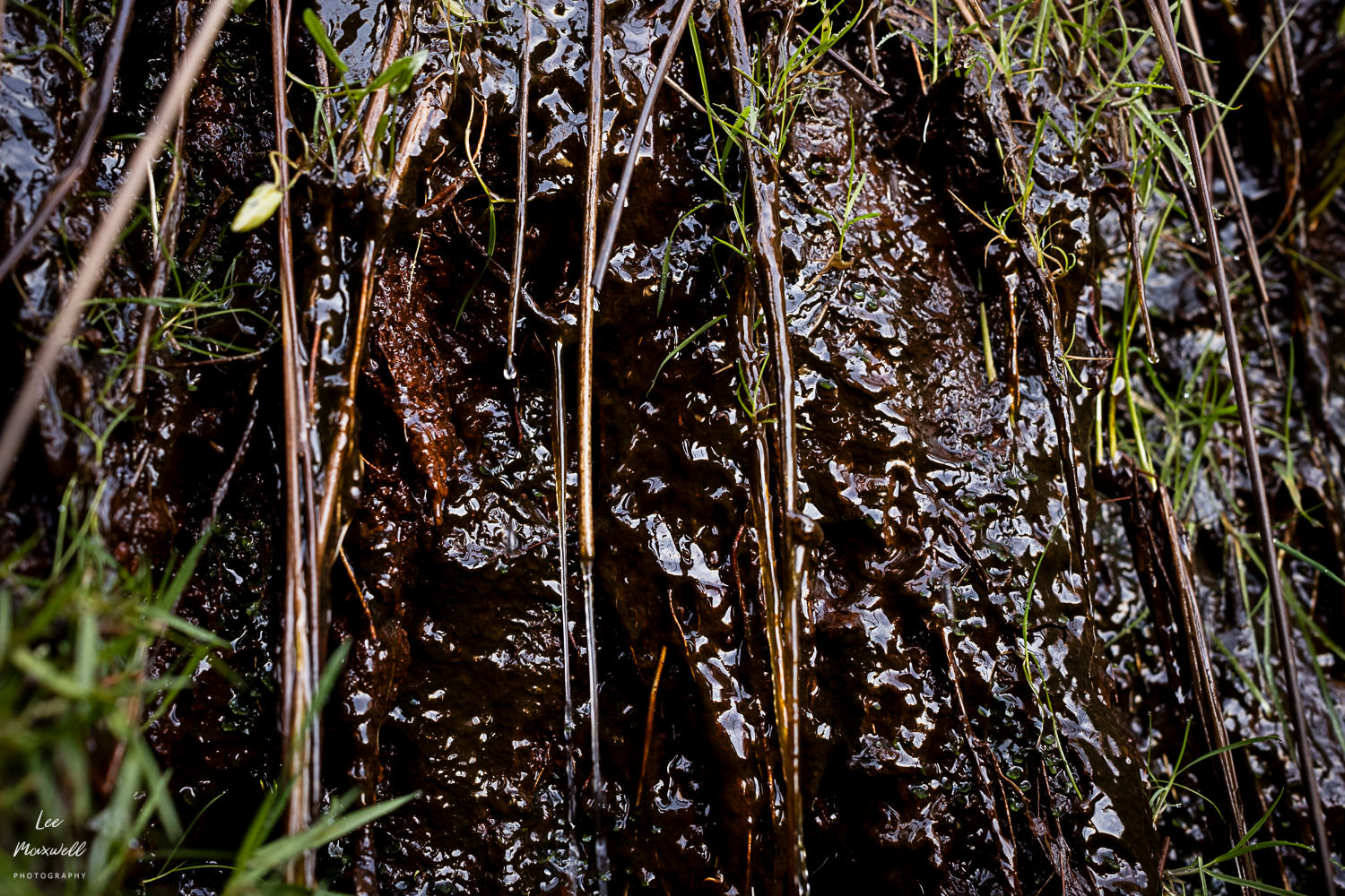
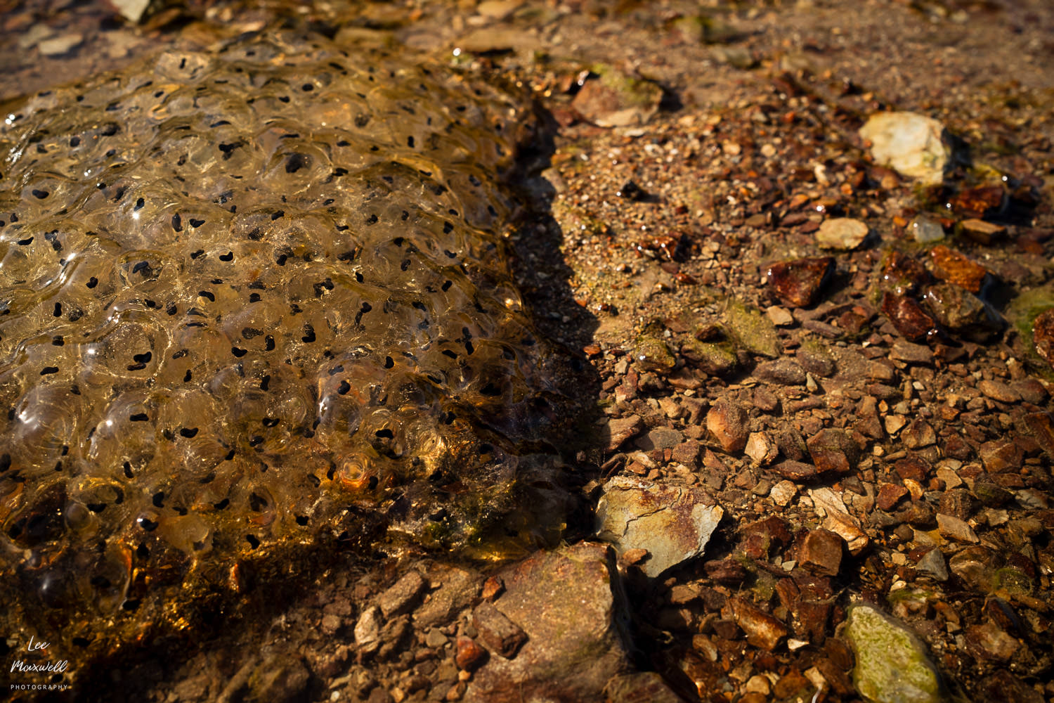
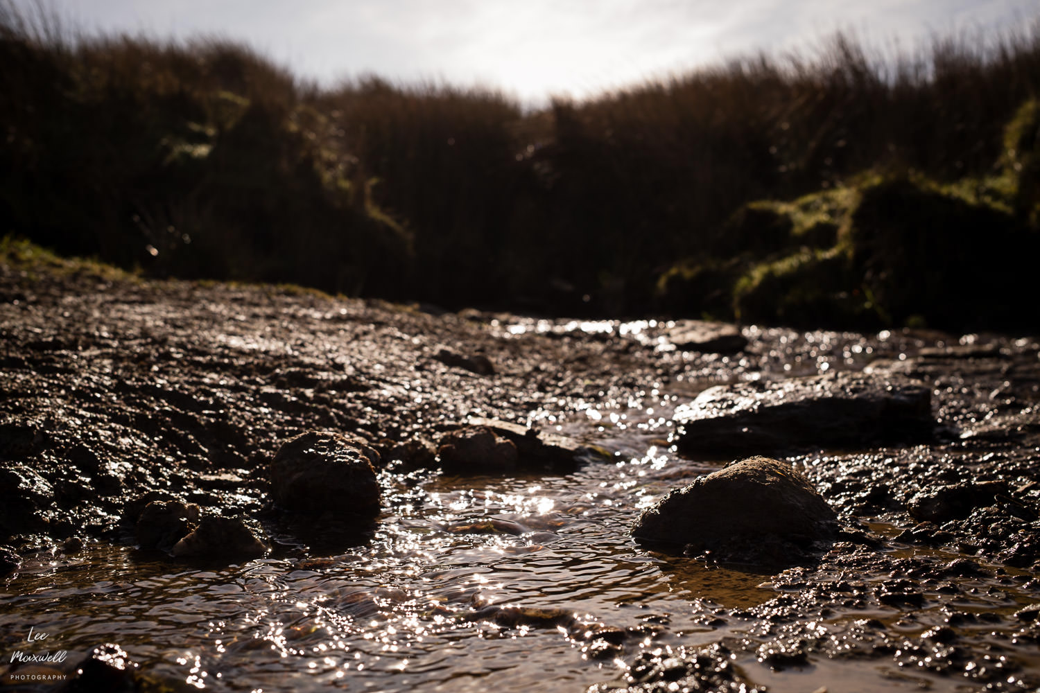
The River Exe begins quietly, almost unremarkably, at Exe Head near Simonsbath. There’s no dramatic spring or obvious starting point, just wet ground, peat, and small channels gathering themselves into something that eventually becomes a river. Standing there, it’s hard to imagine that this is the same water that ends its journey at the wide, tidal estuary in Exmouth.
Finding the Source of the River Exe
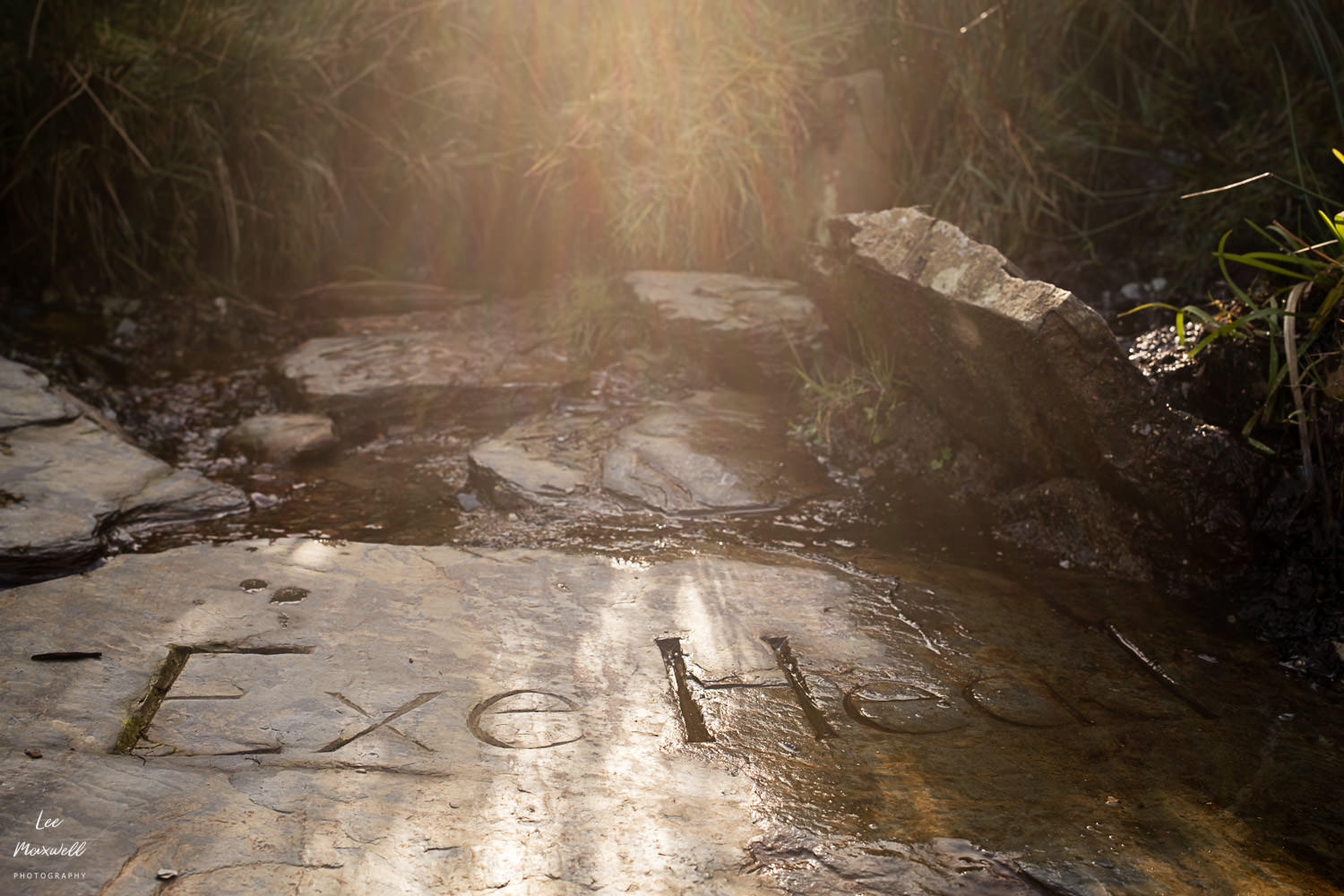
The source of the River Exe isn’t marked in an obvious way, which is part of what makes it interesting to visit. I used the OS Maps app to follow a walking route from Simonsbath, across Exmoor, towards Exe Head.
If you’re planning to visit:
– Start near Simonsbath and aim for GPS 51°09’32.7″N 3°47’12.1″W.
– Use a downloaded walking route, there will be no signal to navigate.
– Be prepared for uneven and boggy ground.
Most other locations along the river are far more accessible, and many can be reached directly by road or short walks. I’ve included all of the locations from this project in the map below.
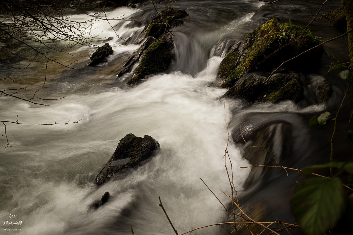
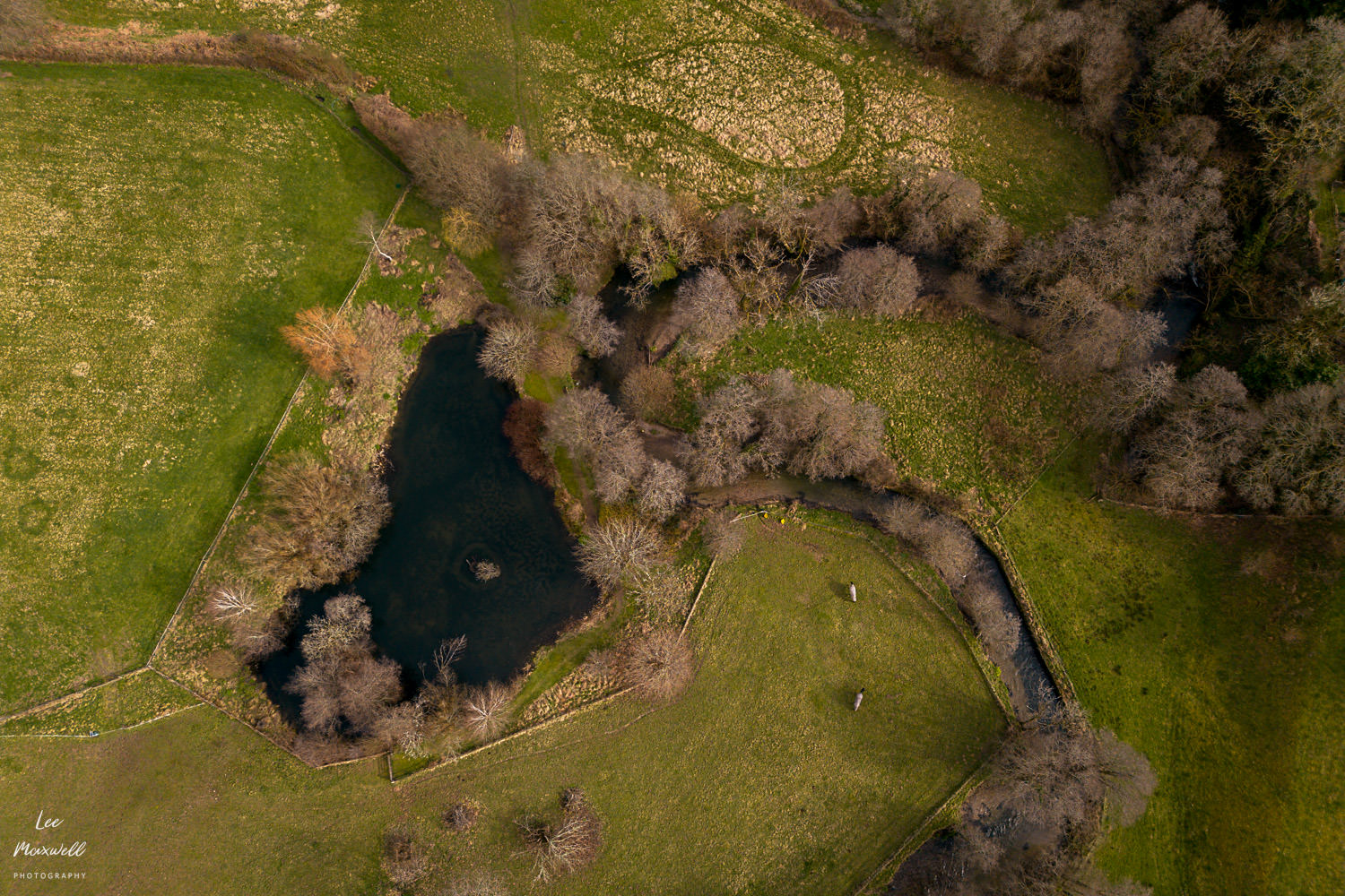
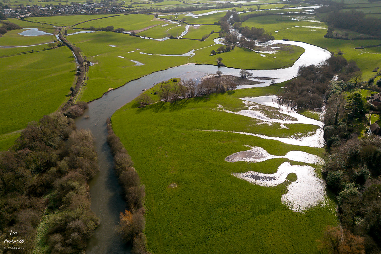
Moving downstream, the character of the Exe changes quickly. Around Exford, it still feels wild. The river is narrow, fast, and surrounded by open moorland. There’s very little to interrupt it. Further on, the landscape begins to soften. The river slows slightly, bends more, and starts to feel like part of a working countryside rather than something untouched.

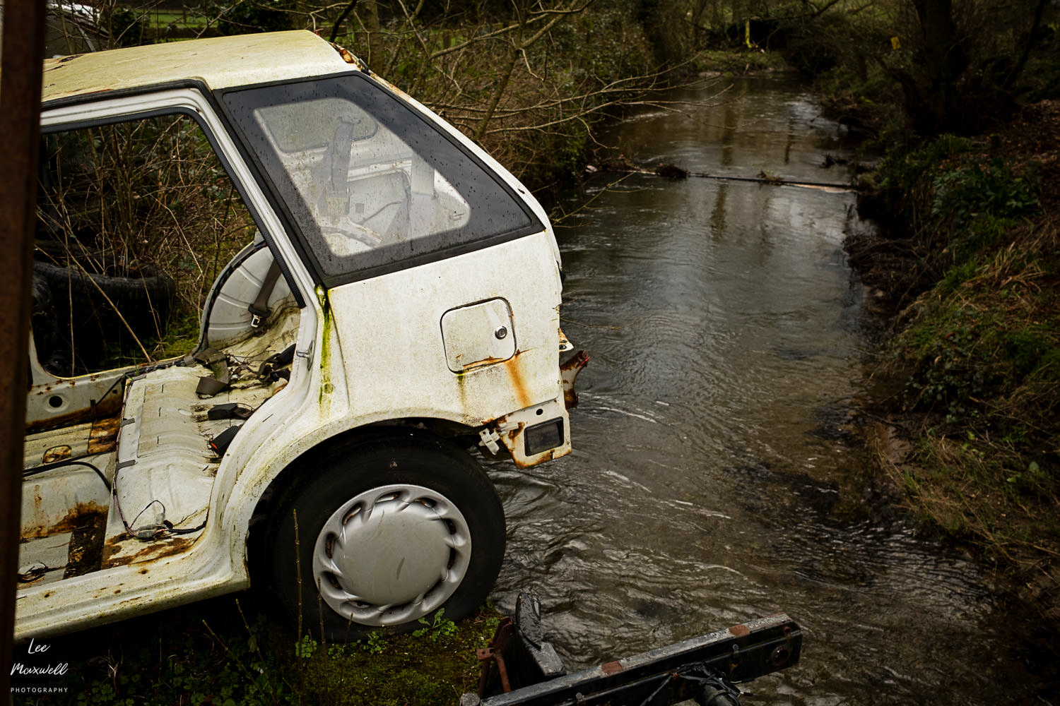
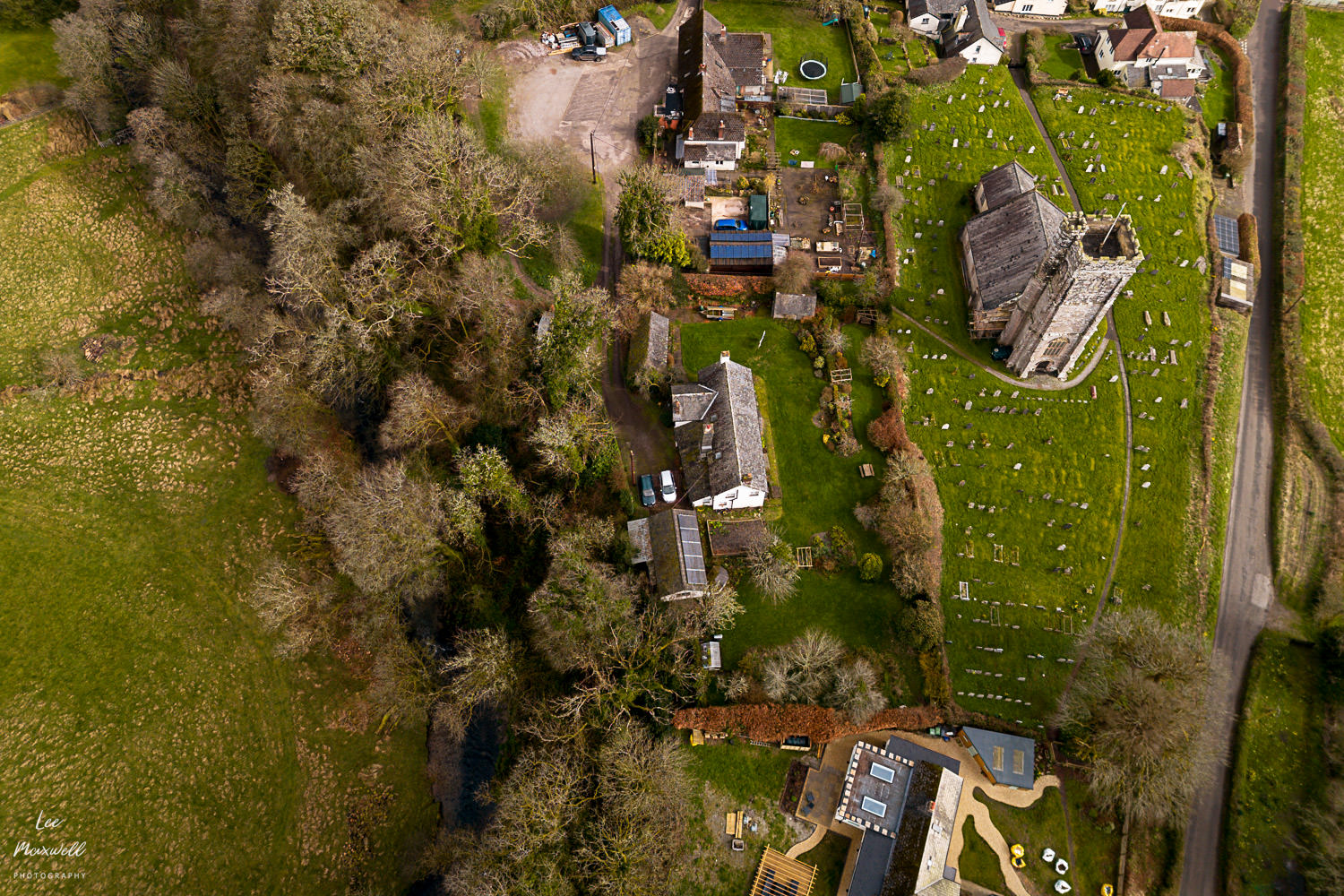
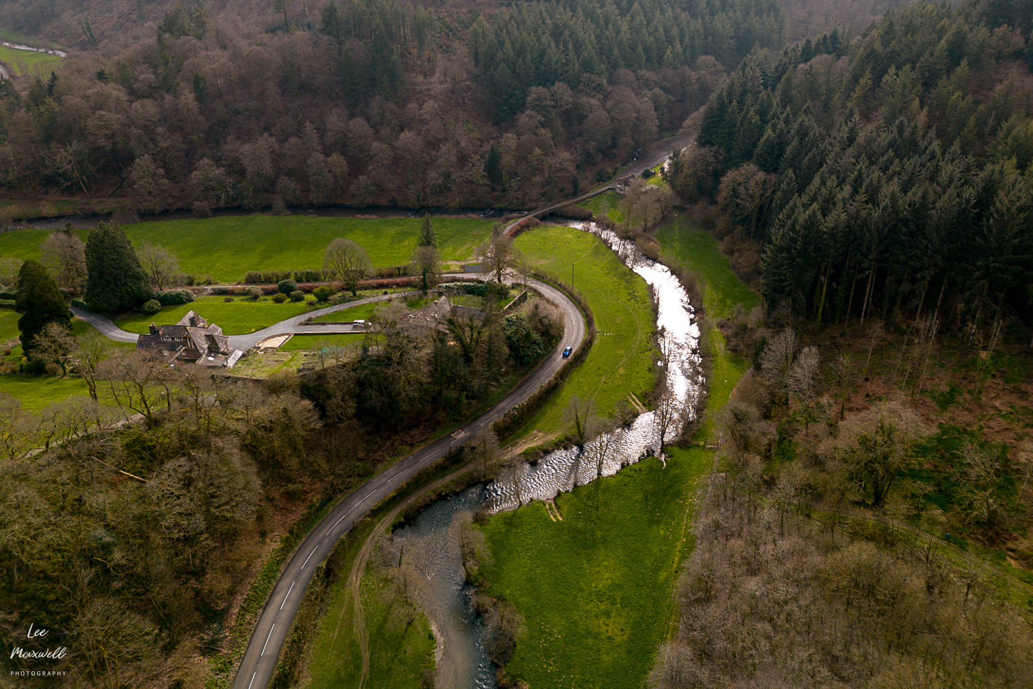
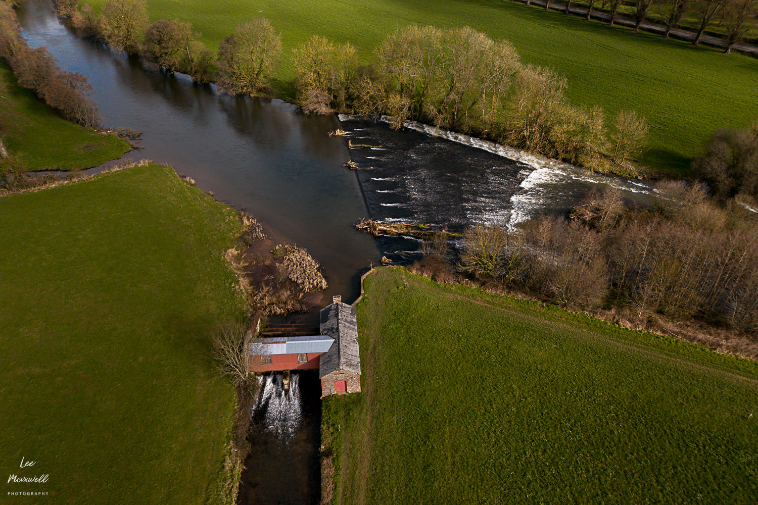
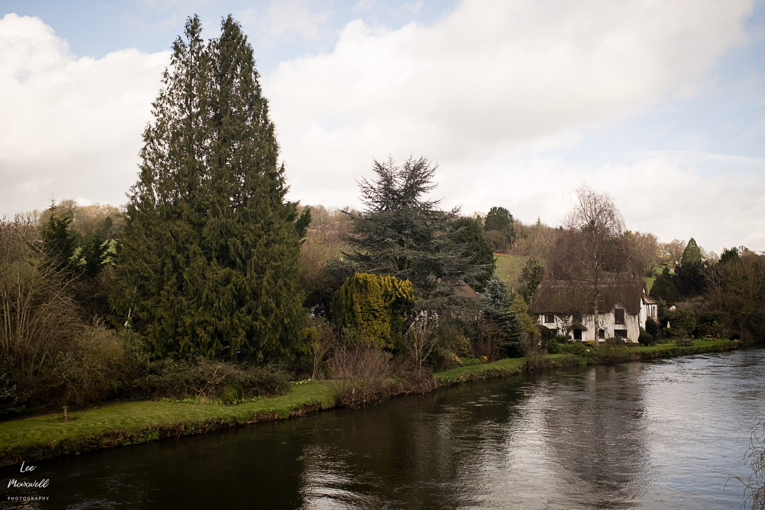
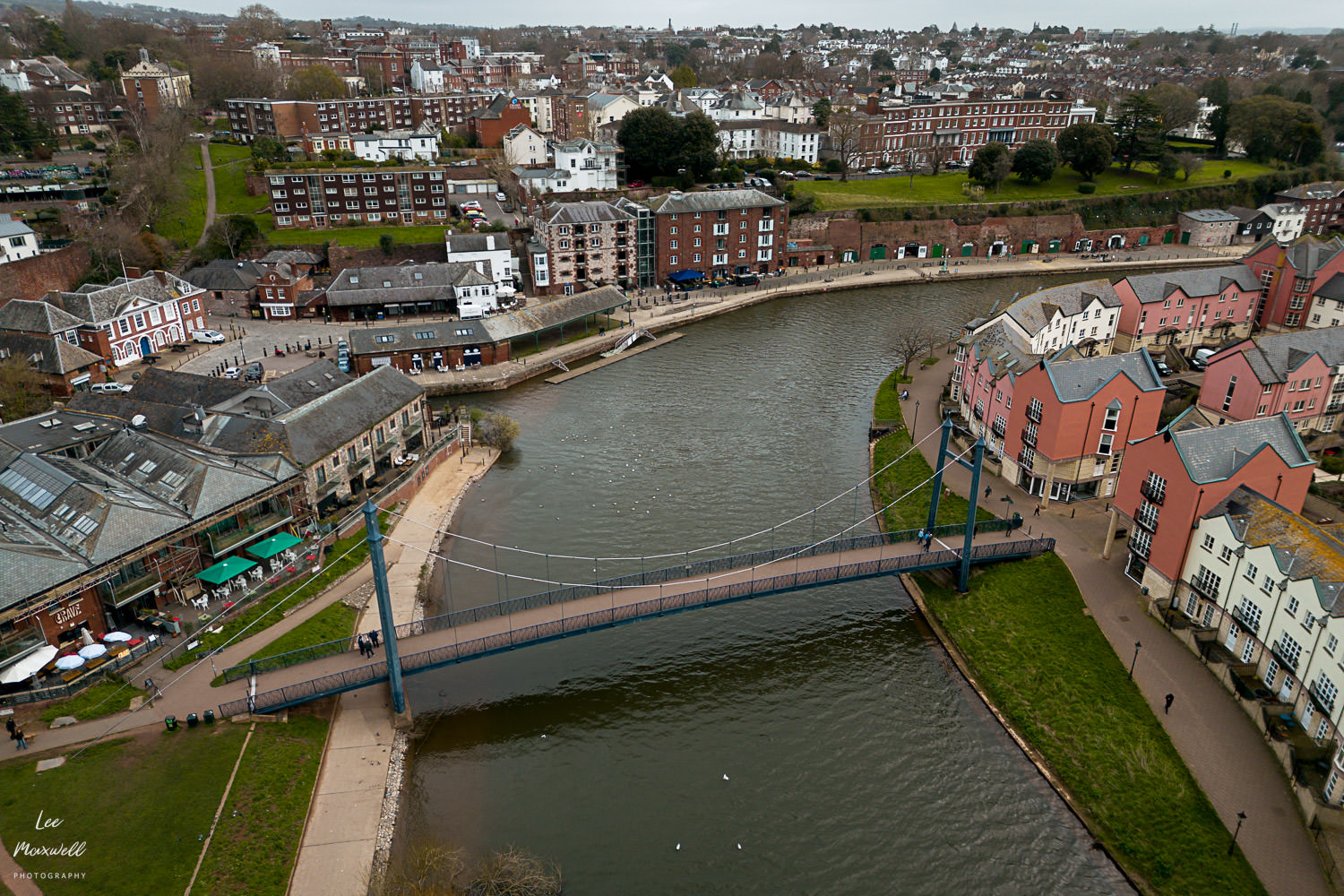
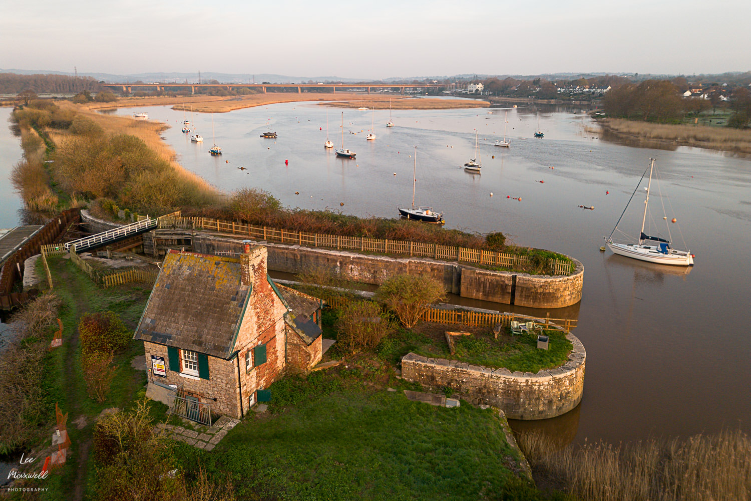
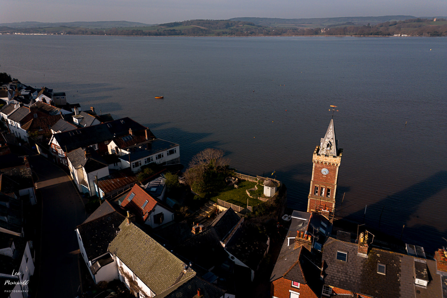
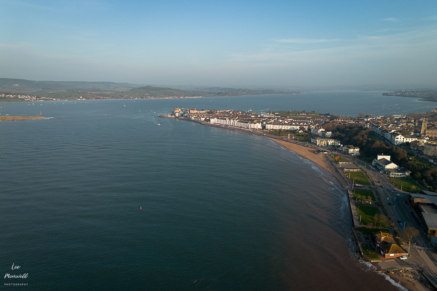
By the time it reaches Tiverton, the Exe has a different identity altogether. Here, you start to see how the river has shaped the town – mills, bridges, and the remnants of industry that depended on it. Then further south again, near Topsham, everything opens up. The river widens, the air changes, and the influence of the sea becomes obvious. Tides replace current as the dominant force. Finally, at Exmouth, the journey ends, the river meeting the English Channel, losing its identity as a river altogether.
Photographing the Exe
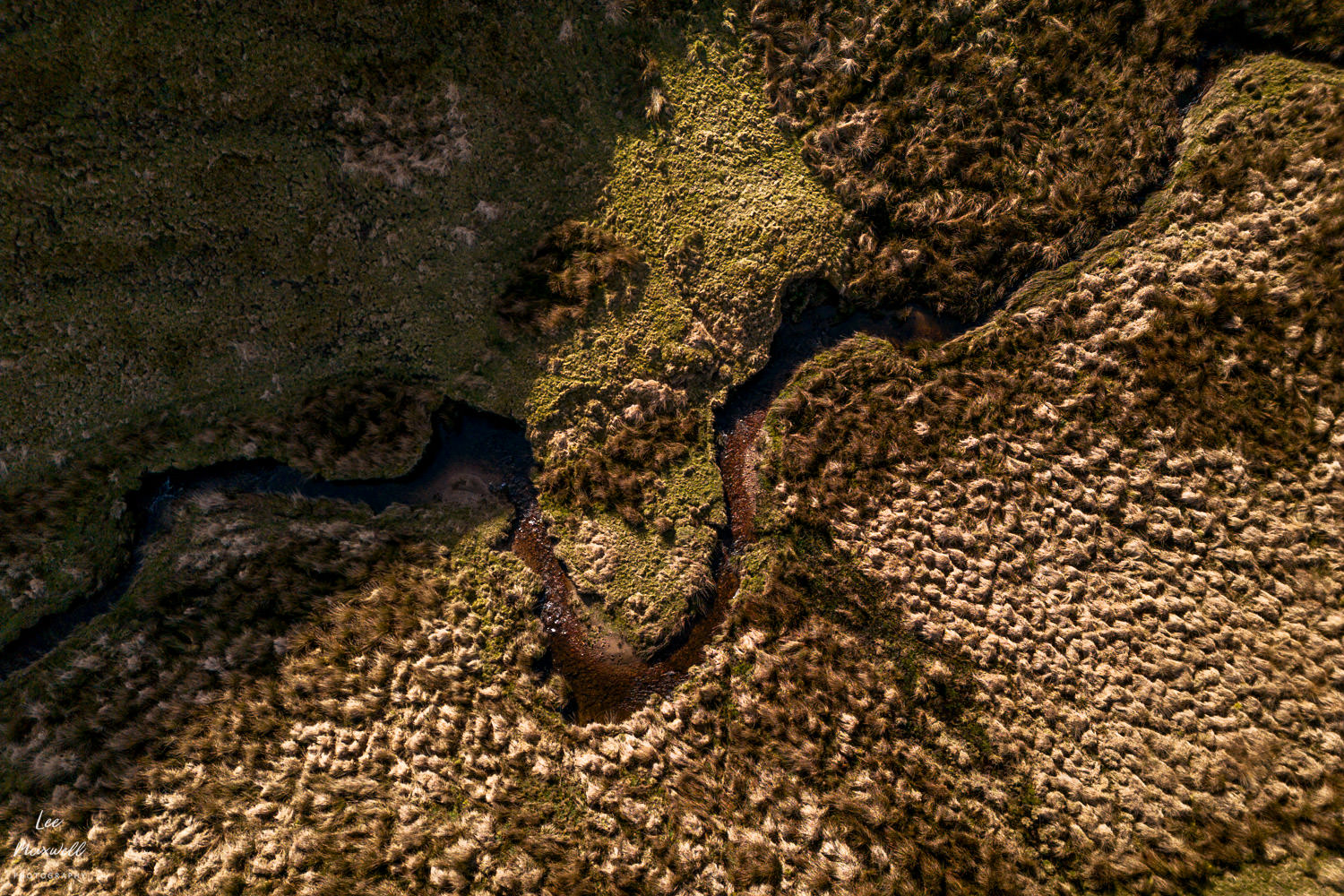
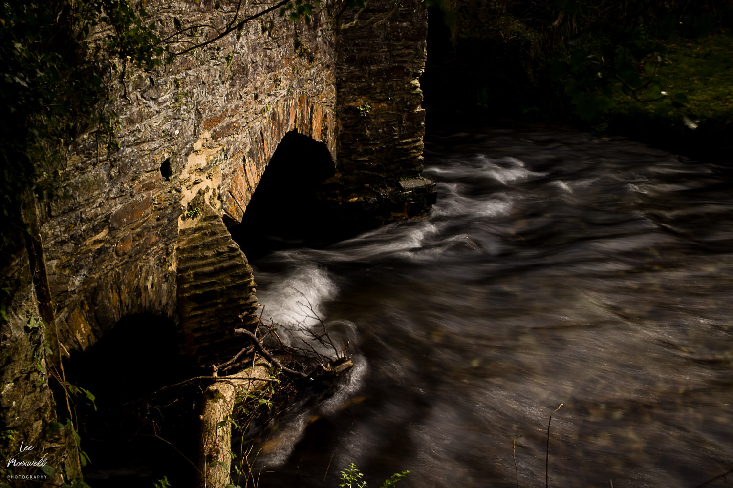
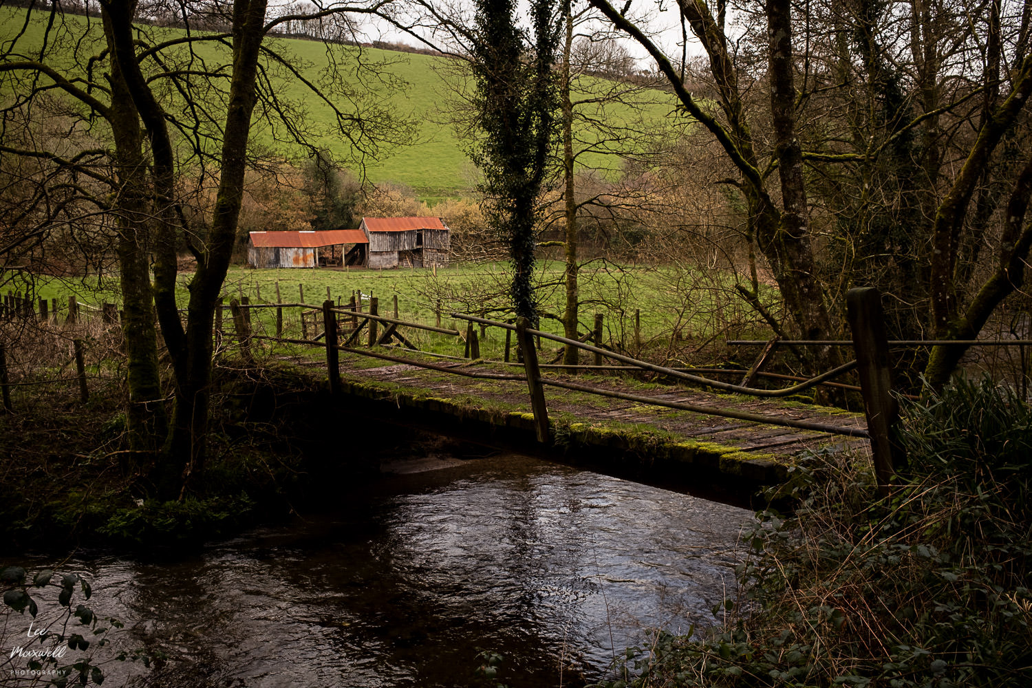
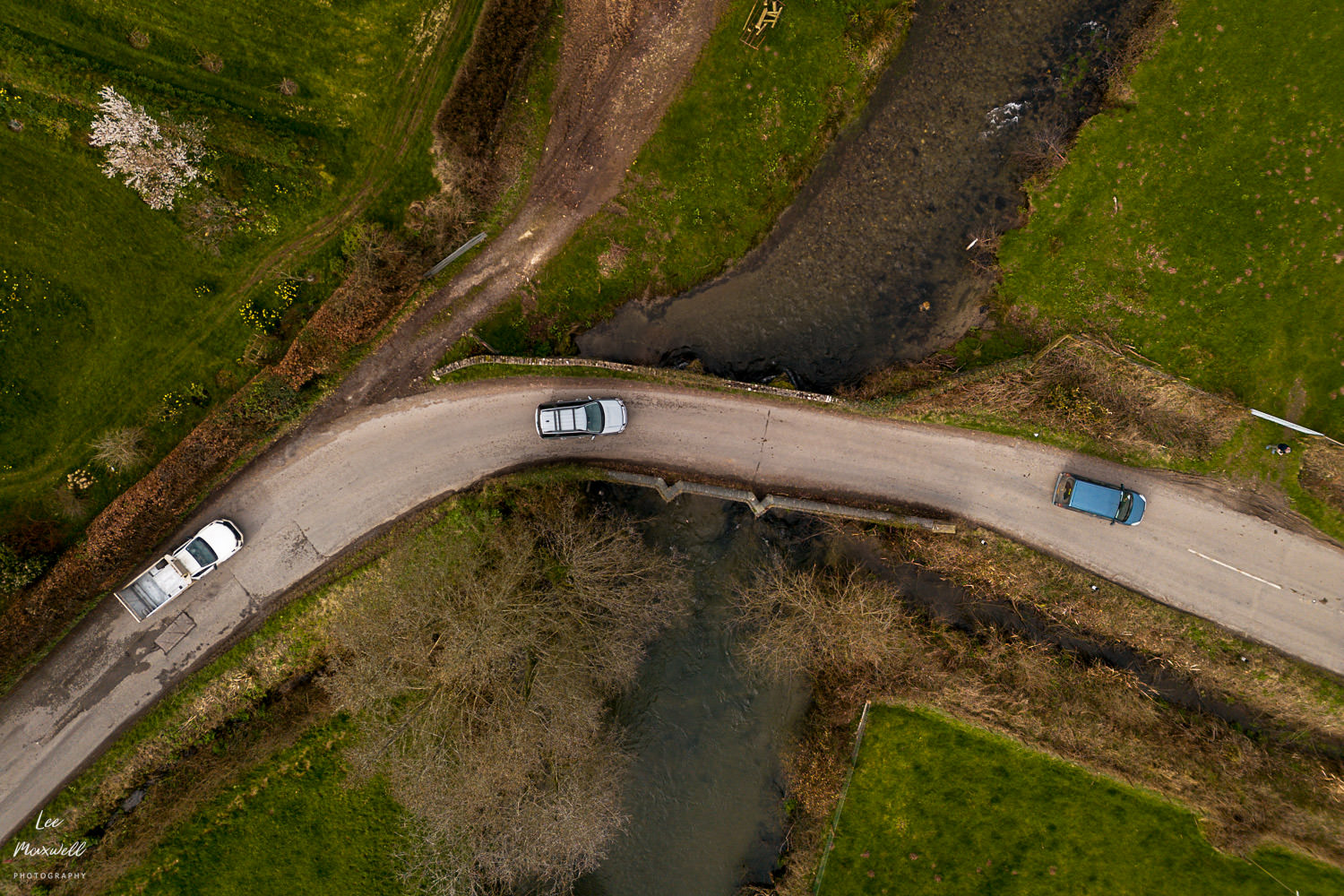
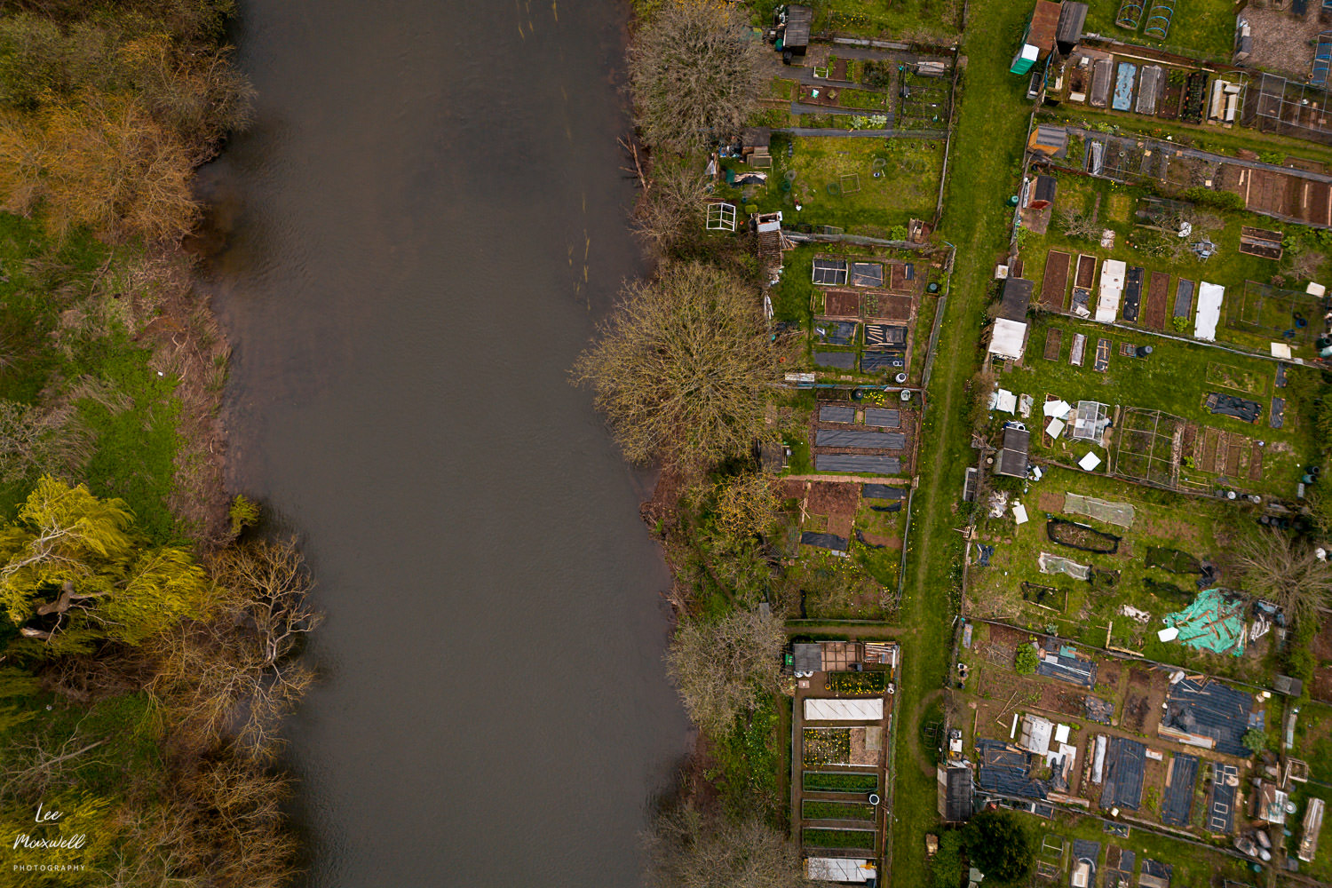
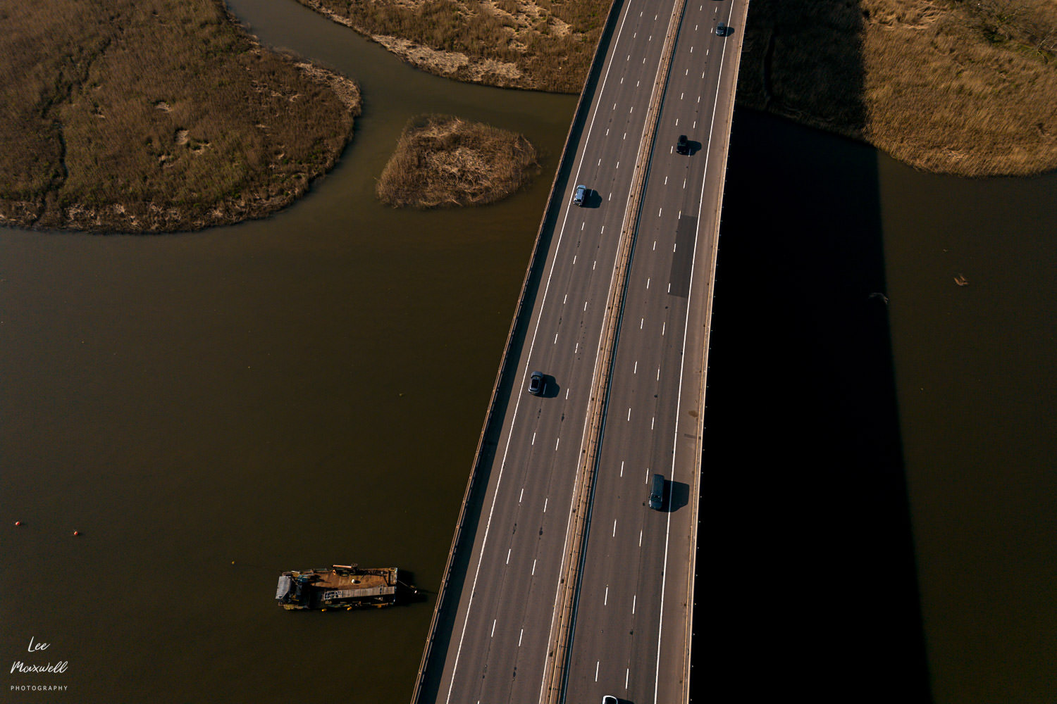
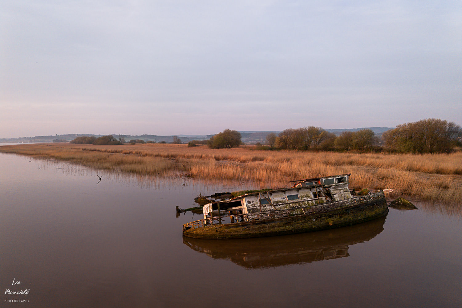
To capture the Exe’s story, I relied on a two-camera setup: a DJI Mini 3 drone and a Fuji X100VI. The drone was essential for revealing the river’s geometry—the sweeping floodplains and intricate bends that are invisible from the ground. In contrast, the Fuji allowed me to document the intimate textures and quiet moments along the banks. The project’s timeline was dictated by the landscape itself; some shots were easy sunrise trips, while others required hours of hiking into remote areas. I chose not to wait for ‘perfect’ weather every time, as the raw, varied conditions felt more representative of the river’s true character.
About the Author
Lee Maxwell is a Devon wedding photographer, specialising in capturing unscripted moments and the authentic atmosphere of a wedding day. With over a decade of experience photographing large and intimate weddings, Lee’s photography has been featured by leading publications like Rangefinder Magazine and Wed Magazine. His approach is rooted in being an unobtrusive presence, allowing real moments to unfold naturally to tell a truer story of the day. You can explore more of his work in his portfolio here and his wedding pricing here.


